Although the route is called Lake Alta, we will head to the lookout first and then come down to the lake over the tops. The start is the same as it would be for Alta, from the ski field car park. The only difference is that once you pass the visitor centre you will see switchbacks climbing the hill on your right, and that is where we turn off.
Those switchbacks are a ski run. Obviously there is no snow there in summer, but in winter, during the season, I have no idea how pleasant it is to walk with people skiing all around. I have not tried it myself.
This is the hardest physical part of the route: a monotonous climb of more than 400 metres. It is moderately steep, but not so steep that walking becomes impossible.
As you climb, views open up over the various basins, Sugar Bowl behind you for instance. Small alpine lakes start appearing too, such as Coopers Lake. Stick to the switchbacks the whole way. There is a temptation to cut the corners and go straight up over the rocks, but that takes just as long or longer and costs you a lot more effort.
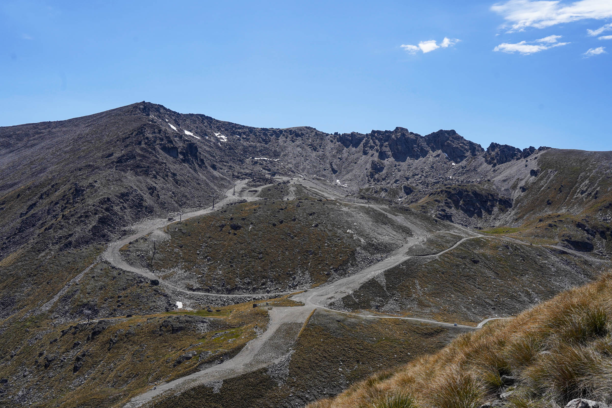
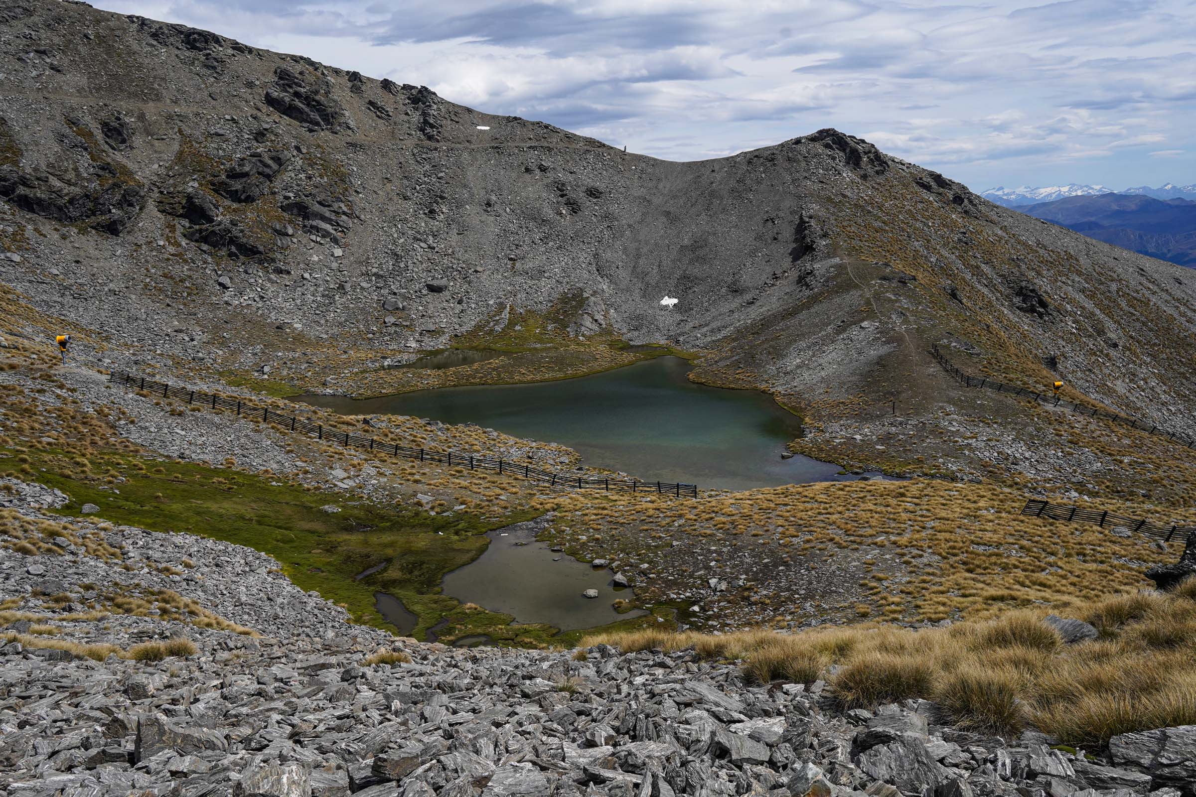
After 2.25 kilometres you turn off the switchbacks onto an unremarkable little path that leads out to the Remarkables saddle. You can navigate by Google to the point called Remarkables Ultimate View Point and head for it; in Organic Maps it is called Lookout Viewpoint. The Queens Drive route starts from this same spot, which I have written about before and where I mentioned this lookout.
From there it is about two hundred metres before that spectacular view I mentioned opens up, and the name Google gives it is well earned. You are standing at almost 1,900 metres with a near-vertical drop below you. There are plenty of epic shots to be had here.
From here you go back to the ski run and carry on climbing towards the Shadow Basin lift. After that there is no more climbing to speak of, but the technical part begins.
You follow the ridge and work your way down, keeping the switchbacks you came up on your left and Single Cone and Double Cone on your right. Lake Alta will start to appear down there too.
These spots also give fine views over the inner basins of the Remarkables.
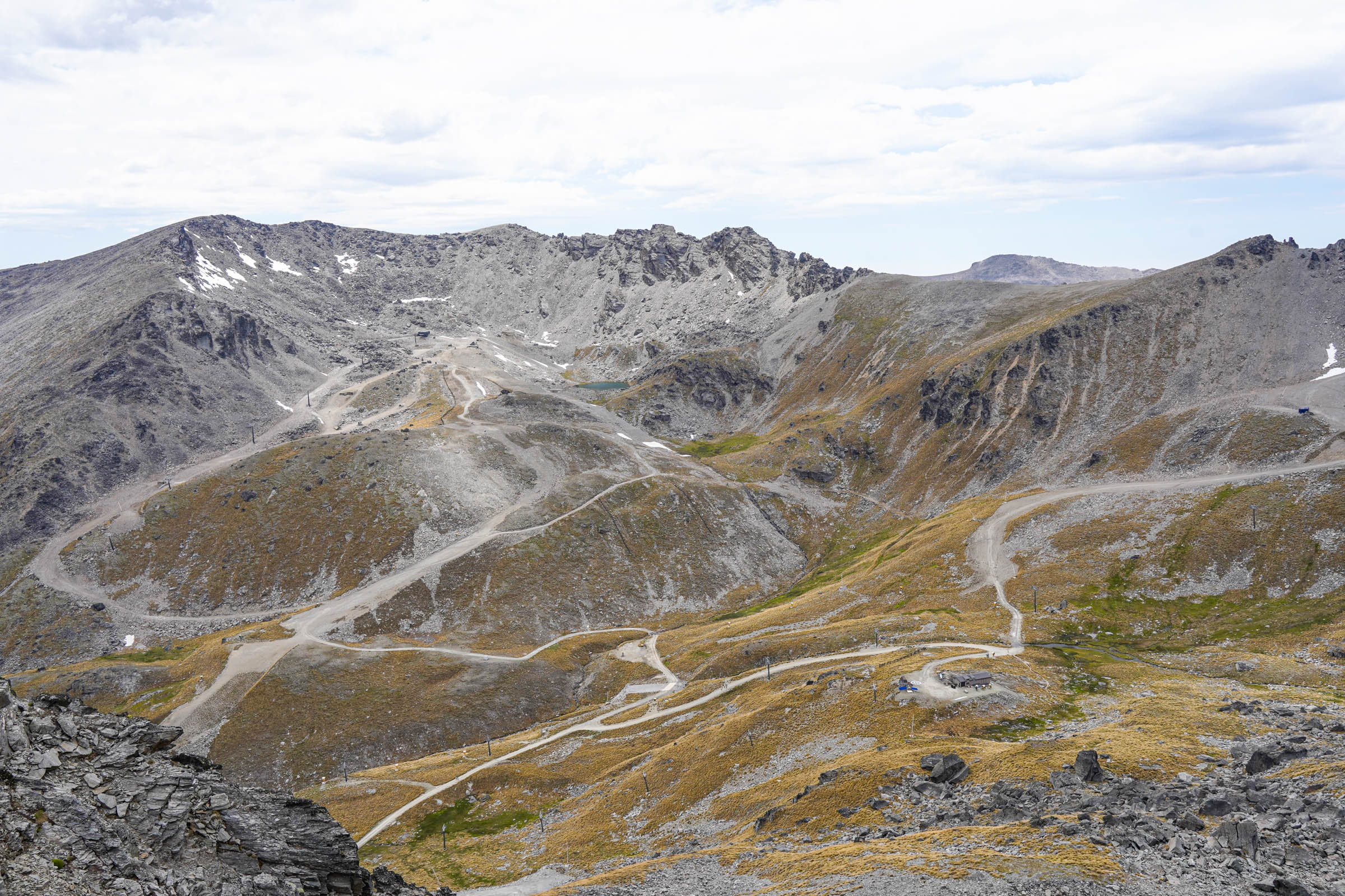
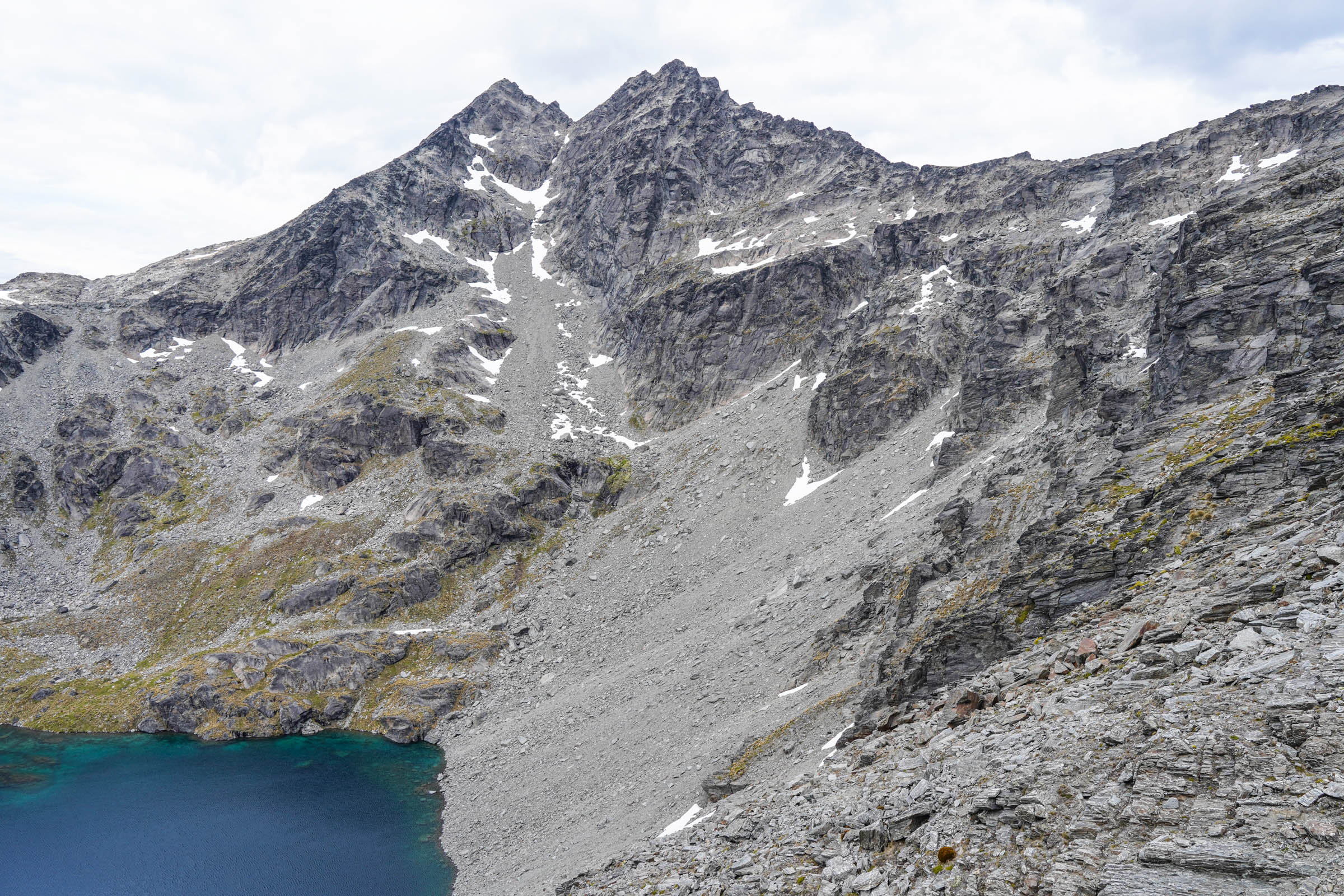
Here you have to get down over the scree. There are plenty of places to do it, and I have included photos of where it works best. I walked this route with my mother and we managed to get down slowly but reasonably comfortably.
Lake Alta is waiting for you at the bottom.
Lake Alta
The lake sits at 1,800 metres in a glacial cirque, the bowl a glacier carved out of the slope as it pushed against the walls of Double Cone. It measures roughly 500 by 250 metres and is fed entirely by snowmelt. In winter it freezes solid, and people make use of that: ice dives are held on it every year, and Antarctica New Zealand puts its divers through training here before they head south. So the people who end up diving under Antarctic ice practise forty minutes from Queenstown.
This is another good place to take photos, rest, and sit down after the harder part of the route.
We were here once in May, when everything was buried in snow, which is also very beautiful and worth seeing. But again, I doubt how comfortable that is in the season with skiers and snowboarders all around.
From there the way back follows the standard track that leads to Lake Alta. It is easy enough to see and well worn, and it eventually comes out on the ski runs, which give you a gentle descent back down.
So that is a short report on how to make more of a fairly popular route rather than just walking to the lake. Yes, it is harder and there is more climbing involved, but the reward is more views and more of the good stuff. As I wrote above, I went there with my parents, and the hardest part for them was probably the climb. But taken slowly and with breaks it is an achievable task.